GeoTools, the Java GIS toolkit 21
Free Version
Publisher Description


GeoTools is an open source (LGPL) Java code library which provides standards compliant methods for the manipulation of geospatial data.
GeoTools is an Open Source Geospatial Foundation project.
The GeoTools library data structures are based on Open Geospatial Consortium (OGC) specifications.
Features
- Definition of interfaces for key spatial concepts and data structures
- Open plug-in system allowing additional formats. Plugins supplied for raster, database and geospatial file formats.
- Includes extensions provide additional capabilities using the spatial facilites of the core library. Extensions provide graph and networking support (for finding the shortest path), validation, a web map server client, bindings for xml parsing and encoding and style generation
- Clean data access API supporting feature access, transaction support and locking between threads
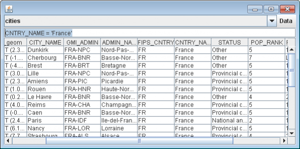
- Vector support for app-schema, arcsde, csv, dxf, edigeo, excel, geojson, org, property, shapefile, wfs
- Spatial Database Support db2, h2, mysql, oracle, postgis, spatialite, sqlserver
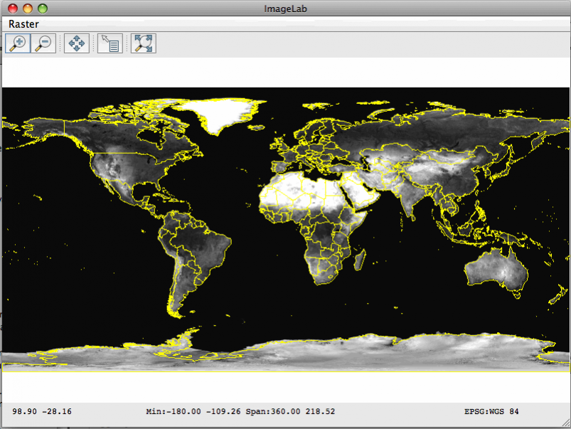
- Raster plugins for arcsde, arcgrid, geotiff, grassraster, gtopo30, image (JPEG, TIFF, GIF, PNG), imageio-ext-gdal, imagemoasaic, imagepyramid, JP2K, matlab
- Powerful schema assisted parsing technology using XML Schema to bind to Java objects.
- XML Bindings for parsing/encoding xsd-core (xml simple types), fes, filter, gml2, gml3, kml, ows, sld, wcs, wfs, wms, wps, vpf.
- Rendering engine configured with OGC Standard Style Layer Descriptor files. Renderer is stateless, allowing low memory use particularly useful in server-side environments.
- Referencing using ESPG Database
- OGC Standards Support SLD/SE,Simple Feature,Grid Coverage, Filter/CQL,WMS,WFS,WPS, KML
About GeoTools, the Java GIS toolkit
GeoTools, the Java GIS toolkit is a free software published in the Other list of programs, part of Development.
This program is available in English. It was last updated on 19 April, 2024. GeoTools, the Java GIS toolkit is compatible with the following operating systems: Linux, Mac, Windows.
The company that develops GeoTools, the Java GIS toolkit is aaime. The latest version released by its developer is 21. This version was rated by 1 users of our site and has an average rating of 5.0.
The download we have available for GeoTools, the Java GIS toolkit has a file size of 86.28 MB. Just click the green Download button above to start the downloading process. The program is listed on our website since 2019-06-27 and was downloaded 78 times. We have already checked if the download link is safe, however for your own protection we recommend that you scan the downloaded software with your antivirus. Your antivirus may detect the GeoTools, the Java GIS toolkit as malware if the download link is broken.
How to install GeoTools, the Java GIS toolkit on your Windows device:
- Click on the Download button on our website. This will start the download from the website of the developer.
- Once the GeoTools, the Java GIS toolkit is downloaded click on it to start the setup process (assuming you are on a desktop computer).
- When the installation is finished you should be able to see and run the program.
